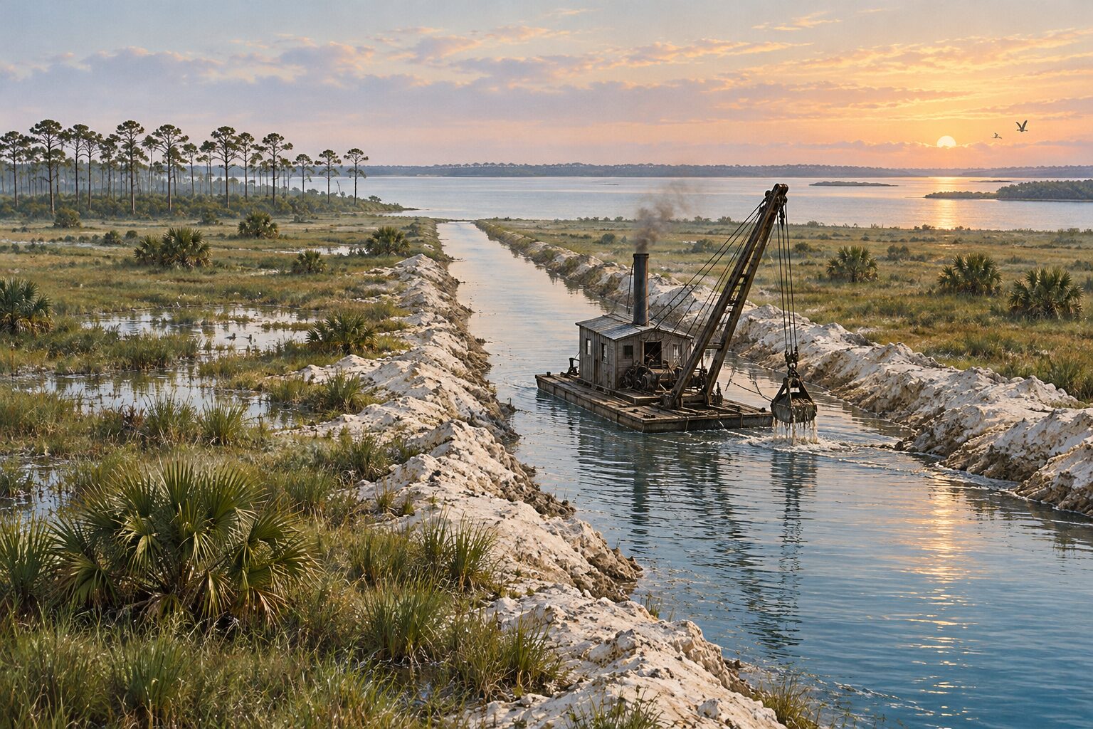
West of Fort Pierce, a few miles back from the Indian River, lay wet prairie and low pine land too wet to farm. Between 1904 and 1911 the people who owned that land dug drainage canals to carry the water off to the Indian River. This page follows those canals through the two Fort Pierce weeklies of the time, with an eye on the water: how much fall there was, where the canals emptied, and what the papers expected the drained land to become.
A canal that did not drain
The Florida East Coast Railway dug the first of them. By the Tribune's later account, the railway began draining a large body of land west of Fort Pierce around 1904, with a canal cut from the Indian River to a point near Five Mile Creek.
It did not do the job. In July 1905 two civil engineers from the railway's land department, Alfred Newlander and M. S. Averette, were in Fort Pierce to look at it. The Tribune said plainly that the canal was not doing what it was built for. The engineers' task was to work out how much wider and deeper it had to be to drain the prairies five miles west of town, and a railway official had already promised that if one canal was not enough, another would be dug.
Four feet of fall
The trouble was depth. When the canal was finished, its bottom sat about level with the prairie it was meant to drain, so the prairie water had nowhere to go. The canal still helped the low pine land on either side of it, and land along it sold and went into vegetables.
Newlander resurveyed the line to find how much fall there was between the prairie and the Indian River. He found four feet or more, which the Tribune called ample for drainage. On his survey the railway contracted with a Mr. King to dredge the canal deeper, lowering its bottom by two to seven feet. When the work was done it was expected to drain about five thousand acres, part prairie and part low pine land.
The dredge at work, 1906
By late 1906 King's dredge had been working the canal for some time. In October the Tribune described the cut as running from the Indian River through the town and westward nearly five miles. It had been dug the year before, it said, but not deep enough, and the railway was now deepening it at its own expense, at no cost to the owners of the land it drained.
The railway had a further plan if the deepened canal still fell short: a second canal north of town through Taylor Creek, and then a third, emptying into the Indian River near White City Junction. On Tuesday, December 4, 1906, Newlander was back in Fort Pierce, now described by the Fort Pierce News as civil engineer and dredge contractor for the railway, to look after the dredging west of town.
What the drainage canals were for
The papers wrote about the canal as a way to make farmland. Over the two years to November 1906, the Tribune counted more than five thousand acres sold in the land the drainage affected. Pineapples had been planted on land the paper described as once wet, growers had set out orange and grapefruit trees, and the paper hoped the low pine land, properly drained, would one day grow celery in quantity.
The water itself got little attention. The canals were measured by the acres they would dry and the crops those acres would carry, and in none of the items on this page does anyone ask what the extra water would do to the river it ran into.
A bigger canal on the St. Lucie
Farther south, a much larger canal was already being talked about. In August 1905 a Tribune piece on Stuart said that completing the projected canal between the St. Lucie River and Lake Okeechobee would hasten the growth of Stuart, and in September it reported that Governor N. P. Broward was writing to a Stuart man about the Everglades drainage canal, and was in earnest about it. By late 1906 a Stuart real estate advertisement in the Tribune told readers that the Everglades would be drained, that a route had been surveyed, and that the canal from Lake Okeechobee to the St. Lucie River would be dug.
That canal belongs to a later story than these papers can tell. What its water has meant for the southern lagoon is covered in our guide to the lagoon's mangrove forests.
Taylor Creek, 1911
Five years after the railway's plan named Taylor Creek, ditching came back to it. In May 1911 the Florida East Coast Realty Company finished clearing the right of way for a canal system on its Fort Pierce Farms tract. The main canal was to empty into Taylor Creek, and the company planned a canal along one side of every forty acres, a system drainage experts said would drain the whole tract even in the heaviest rainy seasons.
The digging was to start that June at the head waters of Taylor Creek, just north of Fort Pierce, with an excavator set up first in the railroad yard. A second machine ordered for the job was first to cut a canal and build a road for the Franklin Land Company in the savannah near Walton. By October the excavator at Fort Pierce Farms was running night and day shifts and three more machines had been ordered. The full story of that tract and its ditch is on our sister site, in Fort Pierce Farms, 1910 to 1911.
The lagoon end of the ditch
The two Fort Pierce papers end in December 1911, with the farms canal still being dug. What the drained prairie sent down to the river in the years after lies outside them. For the lagoon those ditches empty into today, and what reaches it through ditches, canals and outfalls, see the water quality crisis. For the same river in the same years, see Indian River oysters, 1905 to 1911 and Pelican Island.
Frequently asked questions
When were the first drainage canals dug near Fort Pierce?
The Florida East Coast Railway began a canal from the Indian River west toward the prairie around 1904. By July 1905 it was plainly not draining the prairie, and in 1906 the railway had it dredged deeper.
Where did the drained water go?
To the Indian River. The railway's canal ran from the river through town and west toward Five Mile Creek, and the Fort Pierce Farms canal begun in 1911 emptied into Taylor Creek, which runs to the river.
How much lower was the prairie than the river?
Not much. The railway's engineer found four feet or more of fall between the prairie and the Indian River, which the Tribune called ample for drainage.
Sources
This page is drawn from the two Fort Pierce weeklies of the time, via Library of Congress, Chronicling America: the St. Lucie County Tribune of July 28, 1905 (page 1), August 18, 1905 (page 4), September 22, 1905 (page 5), October 12, 1906 (page 4), November 30, 1906 (page 1), December 7, 1906 (page 8), May 19, 1911 (page 4), June 2, 1911 (page 5) and October 13, 1911 (page 1), and the Fort Pierce News of December 7, 1906 (page 5) and June 9, 1911 (page 1). The Fort Pierce News survives from November 1906, so the earlier years rest on the Tribune alone. The illustration was made for this page.