One of North America's most biodiverse estuaries, stretching 156 miles along Florida's Atlantic coast
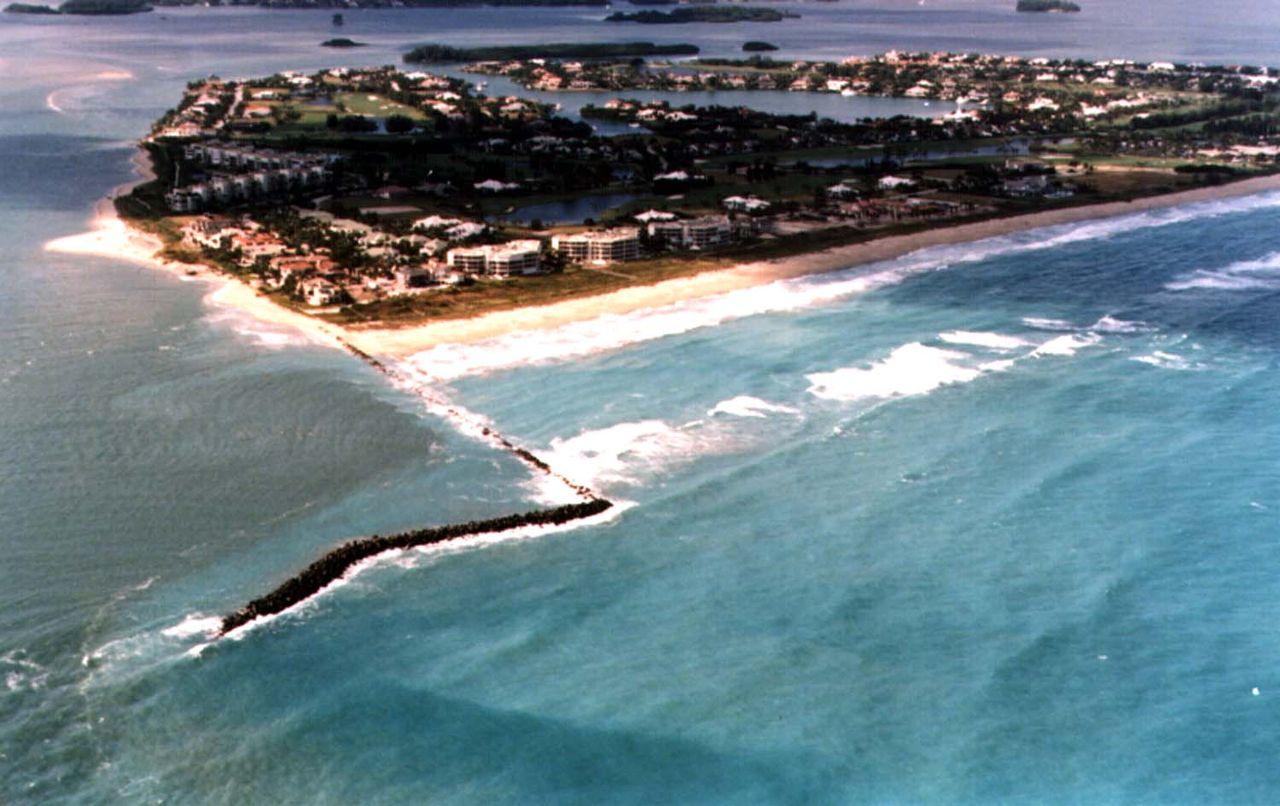
The Indian River Lagoon is not a single river at all. It is a vast, shallow estuary that runs parallel to Florida's east coast from Volusia County south through Brevard, Indian River, St. Lucie, and Martin counties. At 156 miles long, it is the longest barrier island estuary in the United States.
The name also covers three connected bodies of water rather than one. The Mosquito Lagoon lies at the northern end, behind the barrier island in Volusia and Brevard counties. The Banana River runs south of it, separated from the main lagoon by Merritt Island. The Indian River proper is the longest of the three and the stretch most people mean by the name, carrying the system south past Vero Beach, Fort Pierce, and Stuart. Water moves between the three, which is why trouble that starts in one segment rarely stays there.
Scientists have documented more than 4,300 species of plants and animals within the Indian River Lagoon system, making it one of the most biologically diverse estuaries in North America. That richness stems from the lagoon's position at the overlap zone between temperate and subtropical climate regions, creating conditions that support an exceptional range of life.
The lagoon's watershed covers roughly 2,284 square miles across six counties. Its waters are shallow, averaging just three to five feet deep, and its connection to the Atlantic Ocean through five inlets creates a dynamic mix of fresh and salt water that sustains habitats found nowhere else in such concentration.
Yet the Indian River Lagoon faces serious challenges. Decades of nutrient pollution, habitat loss, and development pressure have degraded water quality and threatened the ecological balance the estuary depends on. Understanding the lagoon is the first step toward protecting it.
Read more about the ecology and challenges facing the Indian River Lagoon through our in-depth guides.
Discover what lets the Indian River Lagoon support more species than almost any estuary on the continent, from its geography to the ecological forces that sustain over 4,300 forms of life.
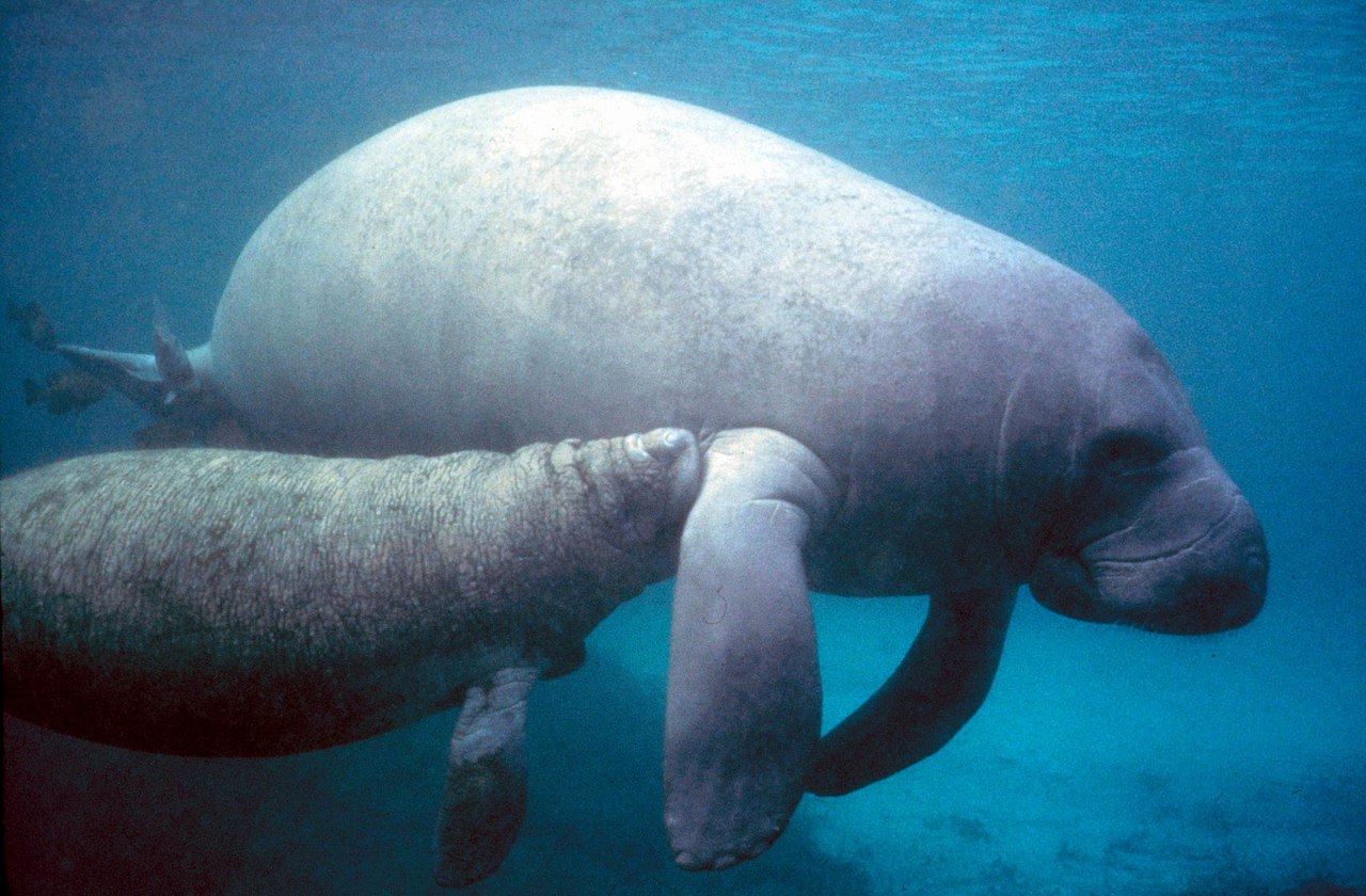
Nutrient pollution, algal blooms, and seagrass die-offs are pushing the Indian River Lagoon toward ecological collapse. Learn what is happening and what is being done to reverse the damage.
In 2011 a superbloom cut off the light to the lagoon floor, and the underwater prairies began to die. The chronology of the collapse, and what bringing the meadows back takes.
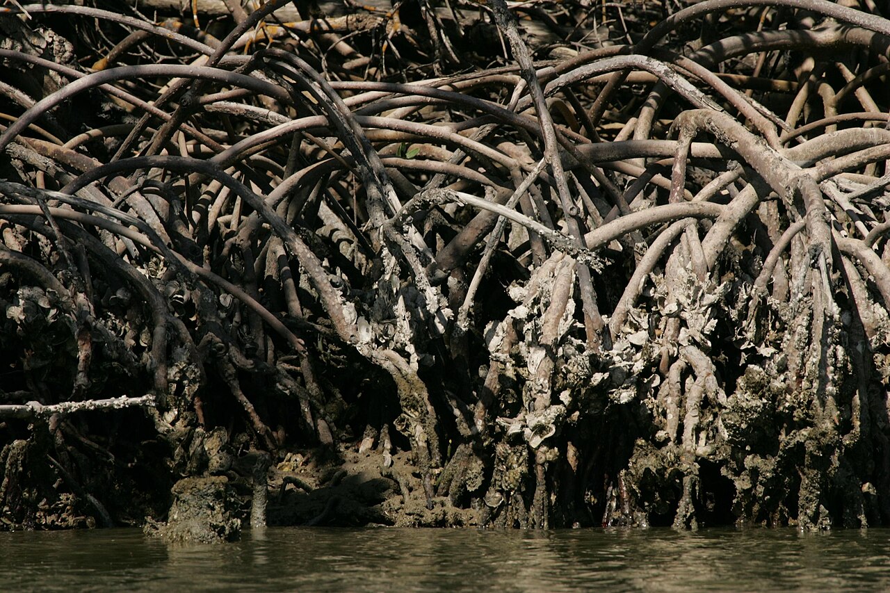
The Indian River Lagoon is defined by the interconnected habitats that line its shores and fill its waters. Each plays a critical role in the health of the whole system.
The lagoon's mangroves stabilize shorelines, filter pollutants, and provide nursery habitat for hundreds of marine species.
Once covering over 80,000 acres, the lagoon's seagrass meadows are feeding grounds for manatees, sea turtles, and hundreds of fish species.
The narrow barrier islands that separate the lagoon from the Atlantic Ocean create the sheltered conditions that make this estuary possible.